 |
| Austin on top of an Ottoman cistern; our trail was the path to the right. |
 |
| Xanthos at sunset, one of the 7 major cities of the Lycian League, which was an independent republic for a short time before being taken by Rome again. |
 |
| A Roman aqueduct, that would pump water up the hill to reach the residents of the Lycian League capital, Patara. |
 |
| Patara |
 |
| Patara |
 |
| How a majority of the Lycian Way was formed-goats. As Austin said about halfway through, "The Lycian Way: made by mountain goats, for mountain goats." |
 |
| A mountain village tucked in a a beautiful valley. |
 |
| Back when we would organize firewood, before we discovered the 'pile it on and burn!' technique. |
 |
| Kash, an area famous for its paragliding off of these mountains and its Greek island in the center, where we stayed for a few days rest. |
 |
| Walking through the ruins of Simena submerged in water. Not clear or interesting enough ruins to pay for a kayak or boat tour, as we were encouraged to do by locals, but incredible to walk through! |
 |
| Simena was one of the 7 important cities of the Lycian League, and was a military base guarding the cove. This is from the top of the hill, where the castle/defense building stands. |
 |
| Overlooking tiny Liman Agazi, where we went after Kash for a few days more rest. |
 |
| Myra, with mainly tombs carved into the mountain side. |
 |
| From the top of our first multi day mountain section with no additional food supplies available-it was an amazing experience! |
 |
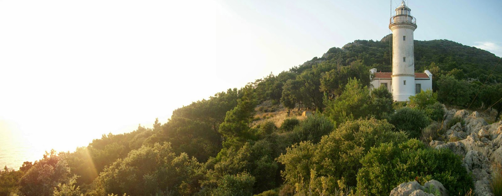
| The infamous lighthouse of the region, at the point of Lycia where the south and east coasts meet. |
 |
| Our first steps of the east coast, leaving the lighthouse. |
 |
| At the point where we would begin our ascent of Mt Olympos the following morning at 3am, turning left and very UP! |
 |
| The long beach of Cirali, from the top of the ruins of Olympos. |
 |
 |
| Our campsite 2 hrs walk from the summit of Mt Olympos. |
 |
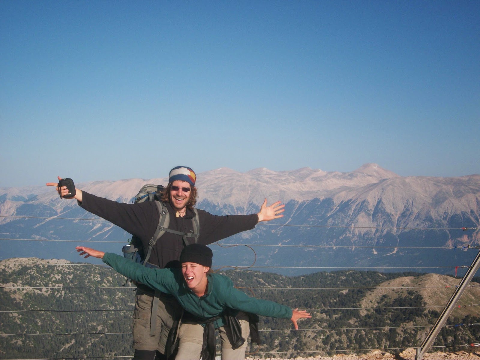
| At the summit of Mt Olympos! The restaurant there opened at 9am, and as we got there at 5:30 for the sunrise we had the whole place to ourselves! |
 |
| We saw more turtles than we have seen in our combined lives on the trail of all sizes and ages, but this little guy was one of the cutest! |
 |
| Our campsite the night after our Mt Olympos summit. We continued to have spectacutlar views of the mountain for a few days before and after we summited, although you can't see it here. |
 |
| A typical lunch, minus the chips. Those were more of a special comfort food treat for Kindra! |
 |


Ahhh, so beautiful! Loved the turtle :)
ReplyDelete